A Short History of Dionysos Satellite Observatory
The first efforts for the creation of the Dionysos Satellite Observatory (DSO) began in the 1960s by Professor George Veis from the former "Higher School of Agronomy and Surveying Engineering" of NTUA.
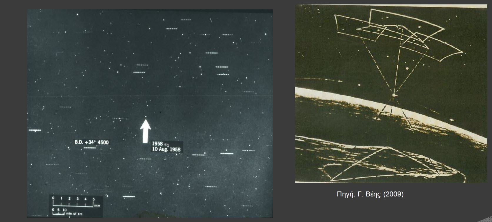
A few years earlier, the global era of satellite geodesy began with the launch of SPUTNIK-1 in October 1957. At the same time, Professor George Veis conducted the world's first study on the use of artificial satellite observations in his dissertation entitled "Geodetic Applications of Observations of the Moon, Artificial Satellites and Rockets" (1958).
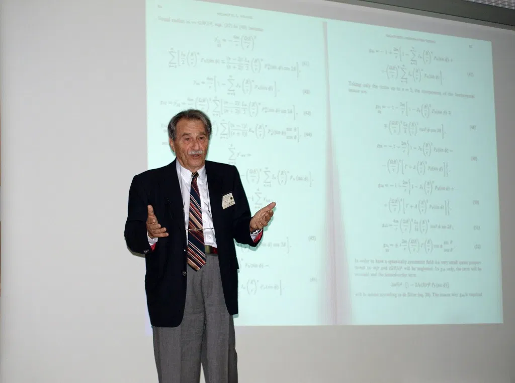
Professor Veis served at the Smithsonian Astrophysical Observatory (SAO) (known as the Harvard Smithsonian Center for Astrophysics) for more than 20 years. At the time, SAO had just designed and implemented a global network of Baker Nunn Satellite Tracking Cameras and he led the program for the use of artificial satellites for geodetic purposes. His idea for the differential track improvement program led to the development of a series of basic calculations of satellite geodesy. In addition, he defined the basic reference system to which movements such as the rotation of the earth and its transition are still used as a basis today, and he created maps with accurate celestial observations from cameras.
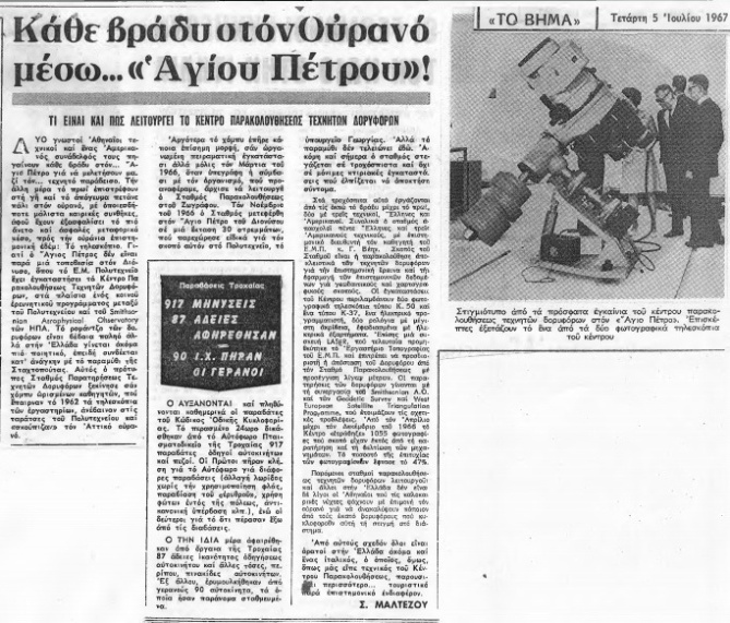
With his return to NTUA in the early 1960s, the development of satellite geodesy begins in Greece. Specifically, in 1966 the then Ministry of Agriculture granted «an area of 30 acres in the area of Rapentosa, Attica, at the Technical University of Athens for the installation of an artificial satellite monitoring observatory». The original idea was to create a complete station for geophysical and meteorological observations and the study of the earth's solid crust.
With the cooperation of international research centers, a number of astronomical instruments and telescopes for observing artificial satellites were installed in the centre.
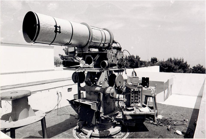
Due to the very good conditions of night observations at the observatory, Dionysos Observatory was making use of optical observation methods, specifically taking photographs of the satellites from Earth and locating them from the surrounding stars. Throughout the 1970s, the equipment was constantly updated and increased, culminating in the installation of the Schmitt camera, the Baker Nun camera (one of the few left in the world), and also the Laser Ranging system. Both contributed significantly to the first more accurate estimates of the size of the Earth.
In 1974 the centre was officially established as a Laboratory of the National Technical University of Athens entitled Dionysos Satellite Observatory Center (Government Gazette, Issue A, No. 138 / 18-05-1974).
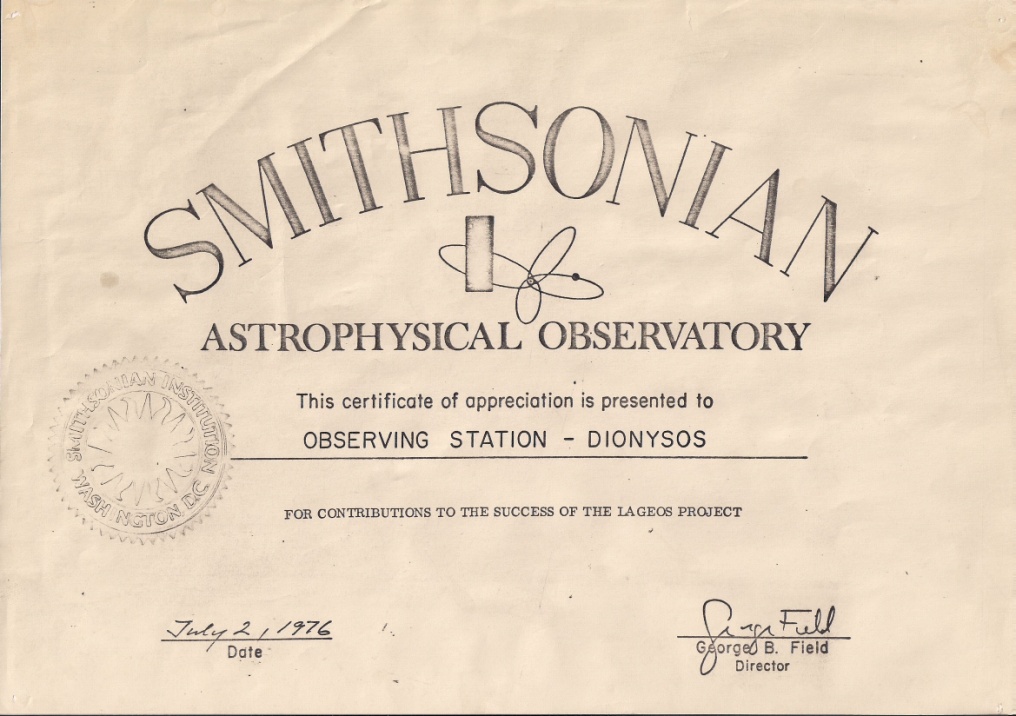
Dionysos Satellite Observatory, known worldwide in the network of stations as «Dionysos», has contributed to satellite programs such as MERIT, MEDLAS, WEGENER and others.
In 1996, Prof. D. Paradisis takes over as director, with DSO’s research activities and collaborations constantly evolving with new equipment and projects. Having entered the era of the Global Positioning System (GPS), a permanent GPS station was installed at DSO (one of the first in Europe), which is still operating today.
In September 2020, the new director of DSO is Prof. M.Tsakiri viewing the new era of DSO with new potential and ability to innovate in satellite geodesy in research as well as education.